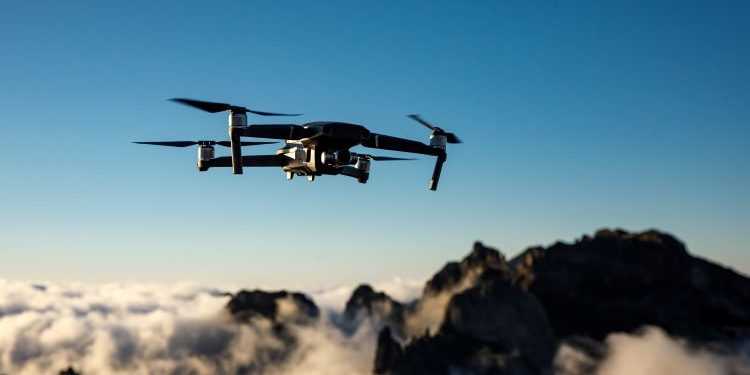
Automated Impacts Routing (AIR) is a software system that uses a modified version of the A* algorithm by including environmental (atmosphere/terrain) effects coupled with shortest path calculations. It allows best and second-best path solutions as part of user selections. With multiservice U.S. Department of Defense (DoD) transitions, AIR has been developed and delivered as an embedded system, a Web service, and a standalone desktop application. Designed with an eXtensible Markup Language standard input schema, it can accept grids of any size or density as input, including any obstacles that can be defined in three-dimensional (3-D) space. For environmental impacts or effects, these can be in the form of severe weather, chemical release plumes, physical objects detected while moving, or areas of known threat activity. Demonstrated in DoD-funded live flights, AIR has operated as an embedded system on an unmanned aerial system (UAS)/drone, avoiding adverse impact areas from 3-D grids sent via the network, as well as switching to a forward-mounted sensor and avoiding adverse effects/obstacles. These live flights were conducted with no human interaction, with the UAS/drone completing its mission while dynamically avoiding changing effects during flight.
This webinar will describe AIR and show examples of its execution in graphical output using the Open Geospatial Consortium Keyhole Markup Language output as rendered by Google Earth.


