Multispectral Imaging

Home / Tags

Recent Inquiries

Images of a quad-copter UAS at different pixel-on-target values for SWIR MWIR and LWIR imagers

Available Thermal, Hyperspectral, or Polarimetric Imagery Datasets

The Defense Systems Information Analysis Center (DSIAC) was asked to identify unclassified LWIR, thermal imagery, or polarimetric datasets. DSIAC subject matter experts highlighted the available open-source or government, unclassified, thermal, hyperspectral LWIR, and polarimetric datasets…

Pulse_yellowscan_lidar

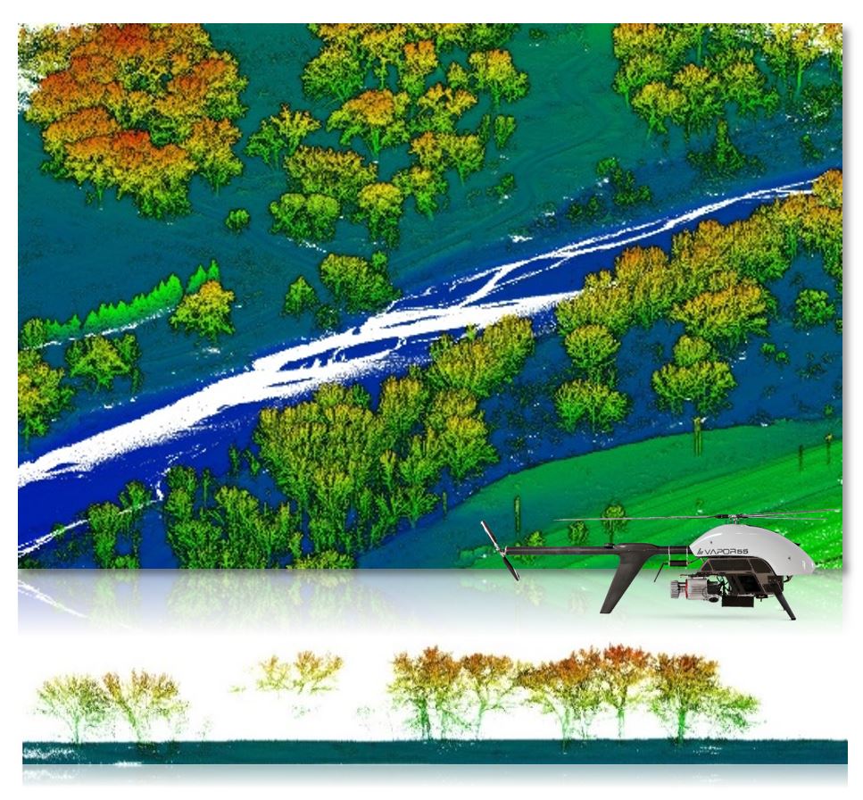
Using sUAS for Coastal and Forestry Assessments

  The Defense Systems Information Analysis Center (DSIAC) was asked for information on techniques and sensors for use on small unmanned aircraft systems (sUAS) for shoreline mapping, coastal beach management, and forestry monitoring.  DSIAC did…